Deployment blueprint

One screen that already knows which bin needs the next truck

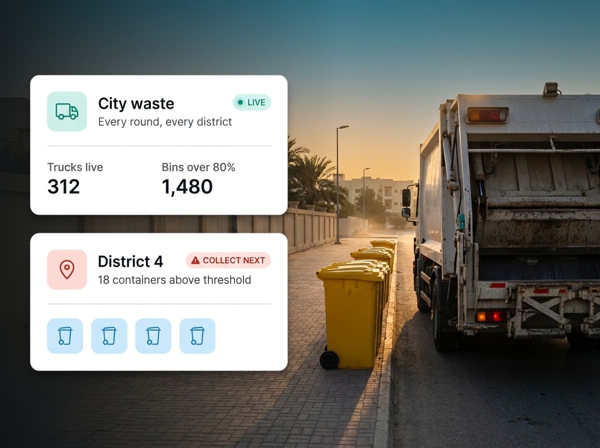
A city's waste programme fails quietly: the contracts team, the operations desk, and the BI analyst each answer the same question differently. We put bins, vehicles, crews, contractors, and lots on one data model, so the answer stops depending on who you ask.

  • Bin-level fill telemetry
  • Mixed-fleet, multi-contractor
  • Plan-vs-actual by lot
  • Department-scoped access
Aerial view of a dense city road network at dusk

Built for this scale

Mixed fleet
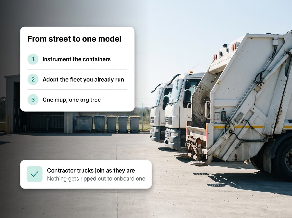
Contractor vehicles instrumented in place
Trucks already carrying a competitor's tracker join the same map by ingesting their feed. Nothing gets ripped out to onboard a contractor.
Bin-level
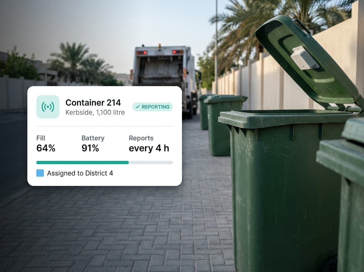
Collection points as first-class objects
Every container carries fill, weight, and motion history — so a district's real demand curve replaces the fixed weekly schedule.
Org tree
Departments see their own slice
The municipal org chart is the permission model. Hundreds of users across dozens of departments read one dataset through their own scope.
< 1s
Live position refresh
Socket streaming, not polling — the command centre watches the round happen instead of reviewing it tomorrow morning.

The challenges

What operators are up against

Three pressures arrive together — operational, contractual, and environmental — and the data needed to answer any of them sits in a different system.

Challenge

Nobody's numbers agree

Hundreds of vehicles, tens of thousands of bins, and several contractors produce data the authority cannot consolidate. Operations quotes one collection figure, contracts quotes another, and the monthly review spends its first hour reconciling spreadsheets instead of deciding anything.
Challenge

Contractor activity is self-reported

If the only record of a completed round is the contractor's own logbook, enforcement is voluntary. Disputed line items accumulate to every invoice cycle, and the authority pays for work it has no way to verify.

Challenge

Emission targets with no instrumentation

Policy commits the city to measurable cuts in fleet emissions. But kilometres driven, litres burned, and tonnes lifted are captured loosely or not at all, so the target lives in a document rather than in the field.

Challenge

Complaints are the scheduling system

Bins are emptied on a fixed calendar, so one district overflows while a half-loaded truck drives past full containers in the next. The signal that triggers the next collection is a citizen phoning in, which means the city is always one step behind.

How it would work

How we would set this up

We instrument first and model second. Fill, weight, and motion sensors go onto collection points; telematics goes onto the fleet — including vehicles the authority does not own. Every one of those feeds lands in the same event pipeline, so a contractor's truck and a municipal truck are the same kind of object by the time they reach the console. On top of that sits the operating model: bins, vehicles, crews, lots, contracts, and departments as related records rather than separate systems, with the city map and the org chart expressed as the same hierarchy.

The architectural point

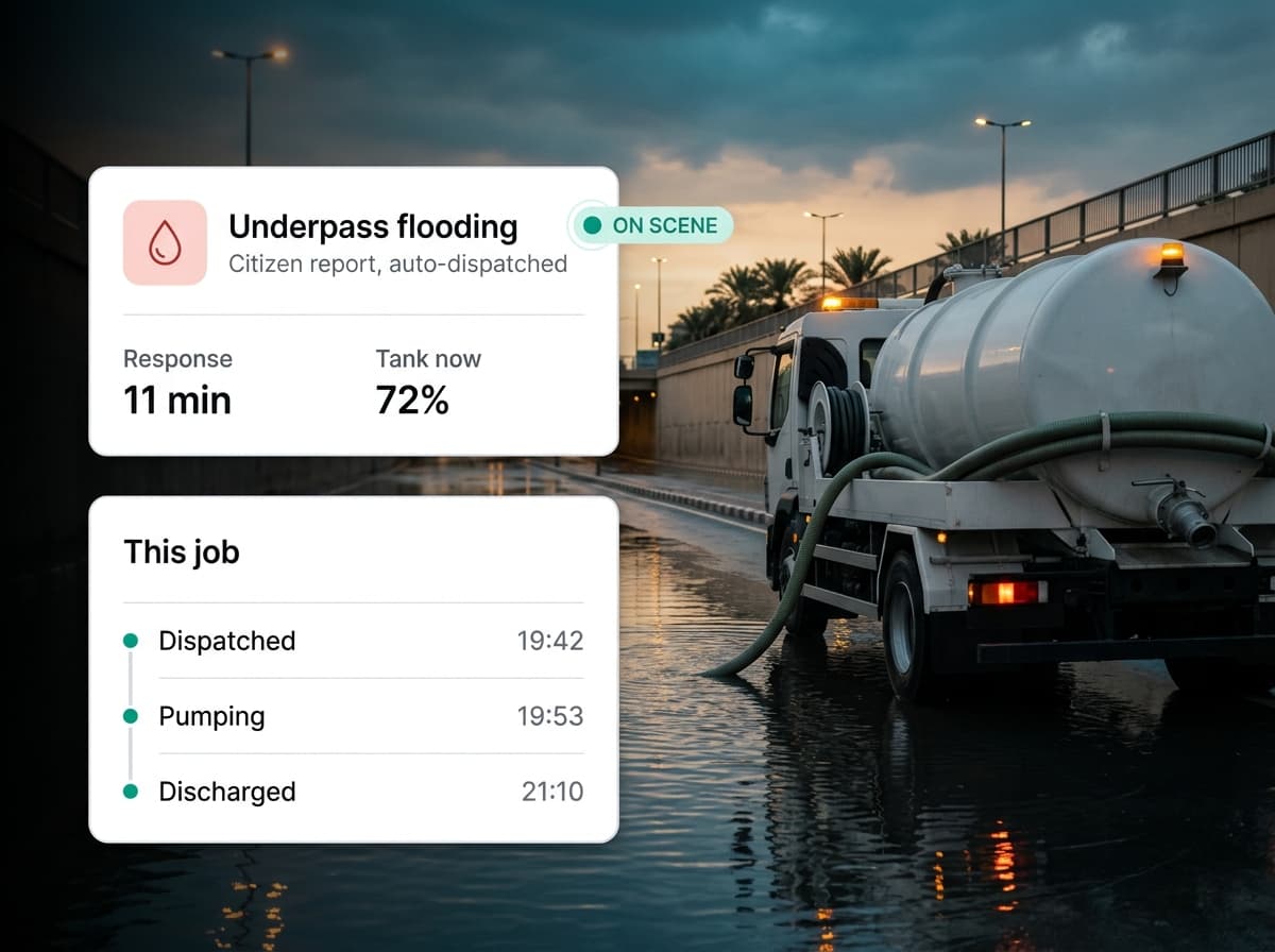
The design decision that matters is that we treat the programme as brownfield from day one. Existing hardware is adopted, not replaced, and new sensor classes, vehicle types, and analytics attach to a live programme without a migration project. That is what lets the same console later absorb camera-based street inspection or wet-weather dispatch on the fleet that is already connected — the expensive part, getting every asset onto one model, is already done.

pulse.app/command-centre

Trucks live

312

Bins > 80%

1,480

Off-route

7

Lots on plan

94%

City waste · live

live
  • District 4 · overflow cluster

    18 bins above threshold

  • Contractor B · route deviation

    Veh. 2214 · 2.6 km off lot

  • Night shift · plan accepted

    412 collection points

Tonnes lifted · last 12 days

Illustrative console view — sample data, not a live operation.

Platform capabilities

What gets deployed

Composed from modules that already run in the platform — geospatial, real-time, compliance, analytics, and workforce on one console.

Hardware in the field

What goes on the asset

Bin sensors, vehicle telematics, in-cab video, and edge inference, all normalised into one event stream before they reach the console.

Integrations

Connected to what you already run

The platform sits on top of the systems the authority already runs, connecting at the contract, finance, and identity boundaries.

  • Third-party contractor telematics

    Vehicles already running another vendor's box are ingested rather than re-fitted. The authority gets one picture across mixed fleets and keeps its supplier options open.

  • ERP and finance

    Compliance scores flow to the finance system so every invoice line carries the field evidence behind it, and credit notes stop being a negotiation.

  • Identity provider and SSO

    Console access maps to the authority's directory over SAML, so department structure and staff turnover are handled where they already are.

  • Permit and licensing registries

    Camera detections are checked server-side against the permit registry, so a flagged hoarding or skip arrives with its licence status already resolved.

FAQ

Questions we get asked first

Short answers here — the detailed version is a conversation whenever you're ready.

Discuss your deployment

Ready to deploy at your scale?

Sovereign-data-friendly. Enterprise multi-org architecture. Built to integrate with the devices, SIM providers, and back-office systems you already run.

Real-time GPS · sub-1s latency12+ fleet analytics modulesMulti-org · white-label readyOn-premise deployment option